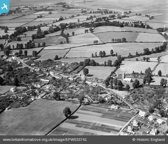
EPW033741 ENGLAND (1930). St John the Baptist's Church and the village, Carhampton, 1930
© Copyright OpenStreetMap contributors and licensed by the OpenStreetMap Foundation. 2025. Cartography is licensed as CC BY-SA.
Details
| Title | [EPW033741] St John the Baptist's Church and the village, Carhampton, 1930 |
| Reference | EPW033741 |
| Date | July-1930 |
| Link | |
| Place name | CARHAMPTON |
| Parish | CARHAMPTON |
| District | |
| Country | ENGLAND |
| Easting / Northing | 300773, 142774 |
| Longitude / Latitude | -3.4196177129252, 51.175062152017 |
| National Grid Reference | ST008428 |
Pins
 totoro |
Friday 20th of December 2013 04:07:18 PM | |
 totoro |
Friday 20th of December 2013 04:06:17 PM | |
 MB |
Friday 29th of March 2013 07:28:25 PM | |
 MB |
Friday 29th of March 2013 07:27:33 PM |


![[EPW033741] St John the Baptist's Church and the village, Carhampton, 1930](http://britainfromabove.org.uk/sites/all/libraries/aerofilms-images/public/100x100/EPW/033/EPW033741.jpg)
![[EPW033742] St John the Baptist's Church, Carhampton, 1930](http://britainfromabove.org.uk/sites/all/libraries/aerofilms-images/public/100x100/EPW/033/EPW033742.jpg)