
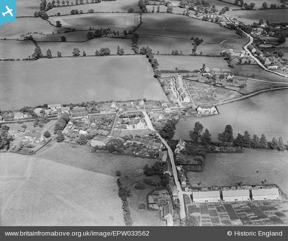
EPW033562 ENGLAND (1930). Wavering Lane East and environs, Peacemarsh, 1930
© Copyright OpenStreetMap contributors and licensed by the OpenStreetMap Foundation. 2026. Cartography is licensed as CC BY-SA.
Nearby Images (2)
EPW033562

EPW023215

Details
| Title | [EPW033562] Wavering Lane East and environs, Peacemarsh, 1930 |
| Reference | EPW033562 |
| Date | July-1930 |
| Link | |
| Place name | PEACEMARSH |
| Parish | GILLINGHAM |
| District | |
| Country | ENGLAND |
| Easting / Northing | 380562, 127170 |
| Longitude / Latitude | -2.2772978425794, 51.043018089505 |
| National Grid Reference | ST806272 |
Pins

lyngil |
Monday 18th of March 2019 05:53:04 PM | |
|
lyngil |
Monday 18th of March 2019 05:52:32 PM | |
|
lyngil |
Monday 18th of March 2019 05:50:30 PM | |
|
lyngil |
Monday 18th of March 2019 05:47:58 PM | |
|
lyngil |
Monday 18th of March 2019 05:46:42 PM | |
|
lyngil |
Monday 18th of March 2019 05:45:42 PM | |
|
lyngil |
Monday 18th of March 2019 05:45:04 PM | |
|
lyngil |
Monday 18th of March 2019 05:44:18 PM | |
|
lyngil |
Monday 18th of March 2019 05:43:35 PM | |
|
lyngil |
Monday 18th of March 2019 05:42:35 PM | |
|
lyngil |
Monday 18th of March 2019 05:41:45 PM | |
|
lyngil |
Monday 18th of March 2019 05:40:58 PM | |
|
lyngil |
Monday 18th of March 2019 05:40:14 PM | |
|
lyngil |
Friday 18th of January 2019 06:07:48 PM | |
|
lyngil |
Friday 18th of January 2019 06:04:26 PM | |
|
lyngil |
Friday 18th of January 2019 06:02:18 PM | |
|
burntbacon |
Saturday 30th of May 2015 09:17:24 PM | |
|
burntbacon |
Saturday 30th of May 2015 09:15:18 PM | |
|
Jaz |
Saturday 18th of May 2013 09:52:13 PM |