
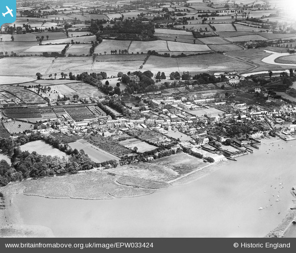
EPW033424 ENGLAND (1930). The town and surrounding countryside, Topsham, 1930
© Copyright OpenStreetMap contributors and licensed by the OpenStreetMap Foundation. 2026. Cartography is licensed as CC BY-SA.
Nearby Images (3)
EPW033424

EPW033426
 on Parkfield Road, Topsham, 1930")
EPW033423

Details
| Title | [EPW033424] The town and surrounding countryside, Topsham, 1930 |
| Reference | EPW033424 |
| Date | July-1930 |
| Link | |
| Place name | TOPSHAM |
| Parish | |
| District | |
| Country | ENGLAND |
| Easting / Northing | 296485, 88377 |
| Longitude / Latitude | -3.4654916793847, 50.685250496428 |
| National Grid Reference | SX965884 |
