
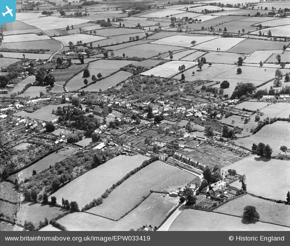
EPW033419 ENGLAND (1930). The village and surrounding countryside, Milverton, 1930
© Copyright OpenStreetMap contributors and licensed by the OpenStreetMap Foundation. 2025. Cartography is licensed as CC BY-SA.
Nearby Images (3)
EPW033419

EPW033418

EPW033483

Details
| Title | [EPW033419] The village and surrounding countryside, Milverton, 1930 |
| Reference | EPW033419 |
| Date | July-1930 |
| Link | |
| Place name | MILVERTON |
| Parish | MILVERTON |
| District | |
| Country | ENGLAND |
| Easting / Northing | 312085, 125865 |
| Longitude / Latitude | -3.2537047155194, 51.024885645471 |
| National Grid Reference | ST121259 |
Pins
Be the first to add a comment to this image!