EPW033280 ENGLAND (1930). The sea front, Weston-Super-Mare, from the south-east, 1930
© Copyright OpenStreetMap contributors and licensed by the OpenStreetMap Foundation. 2026. Cartography is licensed as CC BY-SA.
Nearby Images (11)
Details
| Title | [EPW033280] The sea front, Weston-Super-Mare, from the south-east, 1930 |
| Reference | EPW033280 |
| Date | July-1930 |
| Link | |
| Place name | WESTON-SUPER-MARE |
| Parish | WESTON-SUPER-MARE |
| District | |
| Country | ENGLAND |
| Easting / Northing | 331733, 160432 |
| Longitude / Latitude | -2.9801356828045, 51.338371153059 |
| National Grid Reference | ST317604 |
Pins

Pete L |
Sunday 25th of January 2015 12:05:29 AM | |

Pete L |
Saturday 24th of January 2015 11:45:23 PM | |

Alan McFaden |
Saturday 19th of October 2013 02:18:07 PM | |

Alan McFaden |
Saturday 19th of October 2013 02:17:14 PM |
User Comment Contributions

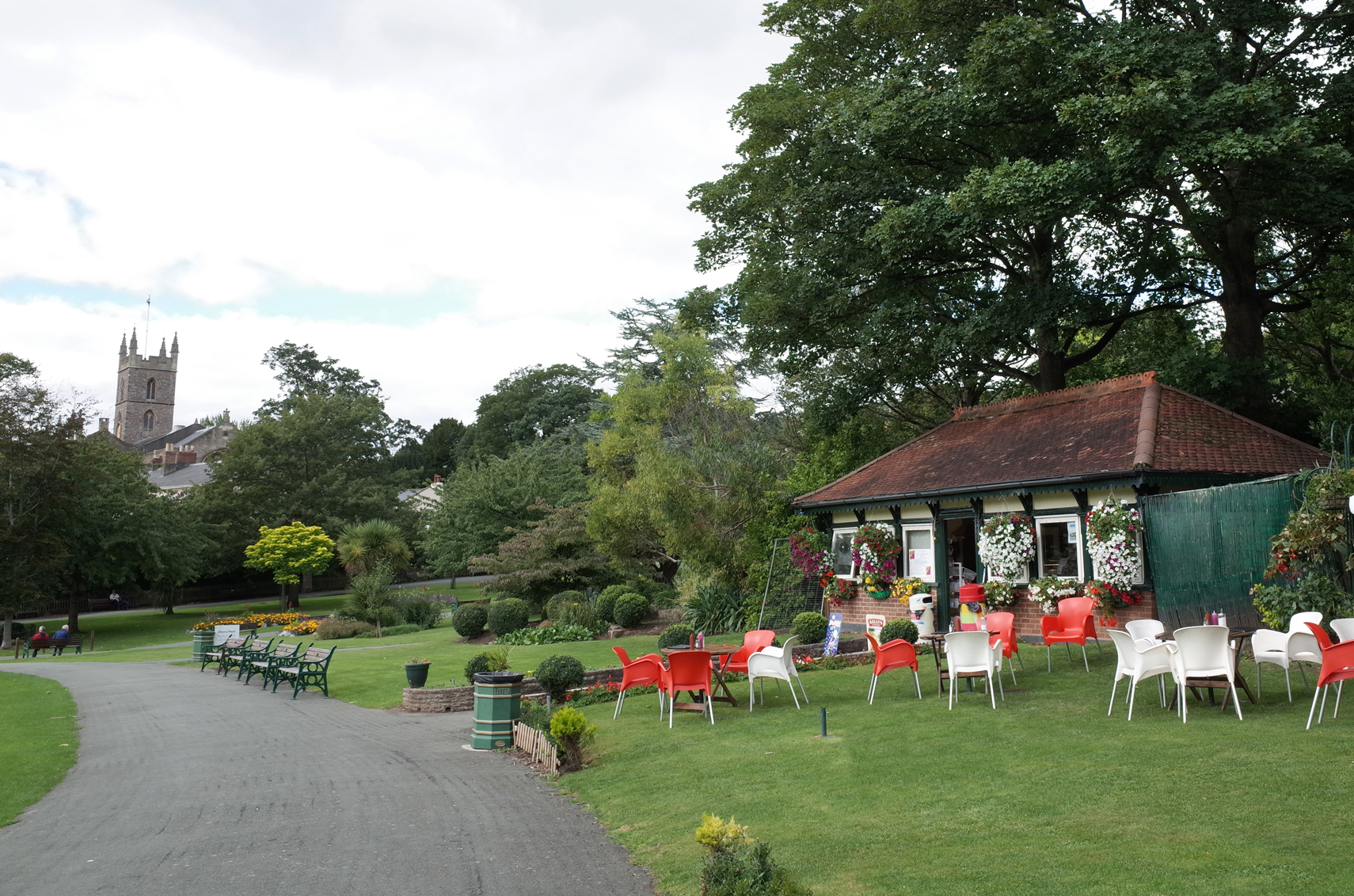
Grove Park Weston-Super-Mare |

Alan McFaden |
Monday 24th of November 2014 01:46:37 PM |

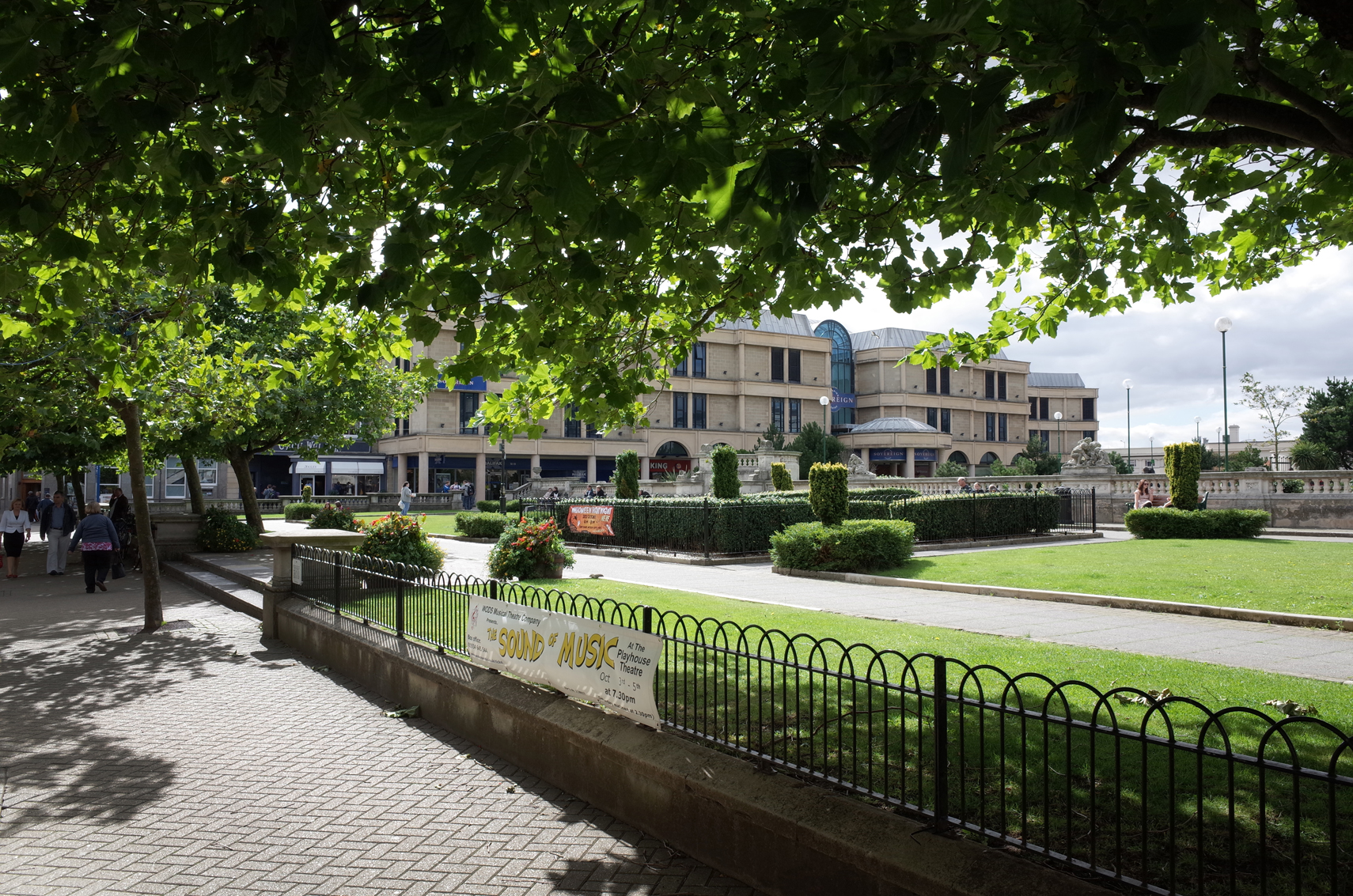
The Italianate Gardens Weston-Super-Mare |

Alan McFaden |
Monday 24th of November 2014 01:46:04 PM |


![[EPW033280] The sea front, Weston-Super-Mare, from the south-east, 1930](http://britainfromabove.org.uk/sites/all/libraries/aerofilms-images/public/100x100/EPW/033/EPW033280.jpg)
![[EPW023959] Beach Road and Severn Road, Weston-Super-Mare, 1928](http://britainfromabove.org.uk/sites/all/libraries/aerofilms-images/public/100x100/EPW/023/EPW023959.jpg)
![[EPW033282] Walliscote Road and environs, Weston-Super-Mare, 1930](http://britainfromabove.org.uk/sites/all/libraries/aerofilms-images/public/100x100/EPW/033/EPW033282.jpg)
![[EPW039935] Marine Parade and the town, Weston-super-Mare, from the south-west, 1932](http://britainfromabove.org.uk/sites/all/libraries/aerofilms-images/public/100x100/EPW/039/EPW039935.jpg)
![[EPW024078] Severn Road and environs, Weston-super-Mare, from the west, 1928](http://britainfromabove.org.uk/sites/all/libraries/aerofilms-images/public/100x100/EPW/024/EPW024078.jpg)
![[EPW024079] Clarence Park and houses on Beach Road, Weston-super-Mare, from the north-west, 1928](http://britainfromabove.org.uk/sites/all/libraries/aerofilms-images/public/100x100/EPW/024/EPW024079.jpg)
![[EAW025152] The Swimming Pool (Tropicana) and Grand Pier, Weston-super-Mare, from the south, 1949](http://britainfromabove.org.uk/sites/all/libraries/aerofilms-images/public/100x100/EAW/025/EAW025152.jpg)
![[EPW051725] The Swimming Pool (Tropicana) under construction, Beach Lawns and the town, Weston-super-Mare, from the south-west, 1936. This image has been produced from a copy-negative marked by Aerofilms Ltd for photo editing.](http://britainfromabove.org.uk/sites/all/libraries/aerofilms-images/public/100x100/EPW/051/EPW051725.jpg)
![[EAW025156] The Swimming Pool (Tropicana), Weston-super-Mare, 1949](http://britainfromabove.org.uk/sites/all/libraries/aerofilms-images/public/100x100/EAW/025/EAW025156.jpg)
![[EAW025157] The Swimming Pool (Tropicana), Weston-super-Mare, 1949](http://britainfromabove.org.uk/sites/all/libraries/aerofilms-images/public/100x100/EAW/025/EAW025157.jpg)
![[EPW023958] Clarence Park, Weston-Super-Mare, 1928](http://britainfromabove.org.uk/sites/all/libraries/aerofilms-images/public/100x100/EPW/023/EPW023958.jpg)

