
EPW033205 ENGLAND (1930). The town, Trowbridge, from the south-east, 1930

© Copyright OpenStreetMap contributors and licensed by the OpenStreetMap Foundation. 2026. Cartography is licensed as CC BY-SA.
Nearby Images (6)
EPW033205

EPW014729

EPW033207

EPW011149

EAW028648

EPW033208

Details
| Title | [EPW033205] The town, Trowbridge, from the south-east, 1930 |
| Reference | EPW033205 |
| Date | July-1930 |
| Link | |
| Place name | TROWBRIDGE |
| Parish | TROWBRIDGE |
| District | |
| Country | ENGLAND |
| Easting / Northing | 385807, 157631 |
| Longitude / Latitude | -2.2036780770518, 51.317105685606 |
| National Grid Reference | ST858576 |
Pins

Class31 |
Wednesday 12th of December 2012 03:50:21 PM | |
|
Class31 |
Wednesday 12th of December 2012 03:48:04 PM | |
|
Class31 |
Wednesday 12th of December 2012 03:47:39 PM | |
|
Class31 |
Wednesday 12th of December 2012 03:47:01 PM | |
|
Class31 |
Wednesday 12th of December 2012 03:46:21 PM | |
|
Class31 |
Wednesday 12th of December 2012 03:45:44 PM | |
|
Class31 |
Wednesday 12th of December 2012 03:44:51 PM | |
For details on the memorial, see the Imperial War Museum War Memorials Archive at www.ukniwm.org.uk/server/show/conMemorial.3097/fromUkniwmSearch/1. |

melgibbs |
Monday 30th of December 2013 06:34:53 PM |
|
Class31 |
Monday 10th of December 2012 08:08:32 PM |
User Comment Contributions
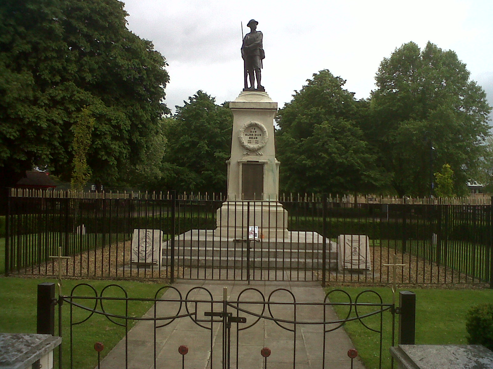
War Memorial |
Class31 |
Tuesday 25th of June 2013 04:41:05 PM |