
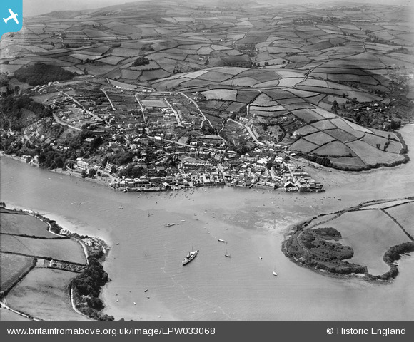
EPW033068 ENGLAND (1930). The town and surrounding countryside, Salcombe, from the east, 1930
© Copyright OpenStreetMap contributors and licensed by the OpenStreetMap Foundation. 2025. Cartography is licensed as CC BY-SA.
Nearby Images (3)
EPW033068

EPW024193

EPW024192

Details
| Title | [EPW033068] The town and surrounding countryside, Salcombe, from the east, 1930 |
| Reference | EPW033068 |
| Date | July-1930 |
| Link | |
| Place name | SALCOMBE |
| Parish | SALCOMBE |
| District | |
| Country | ENGLAND |
| Easting / Northing | 274396, 39091 |
| Longitude / Latitude | -3.7615267711468, 50.237828484598 |
| National Grid Reference | SX744391 |
Pins

MandyLowe |
Tuesday 16th of April 2019 07:58:22 PM |