
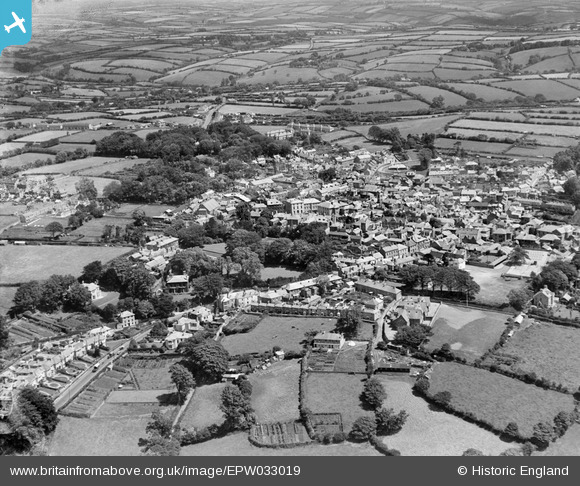
EPW033019 ENGLAND (1930). The town and surrounding countryside, Liskeard, from the south-west, 1930
© Copyright OpenStreetMap contributors and licensed by the OpenStreetMap Foundation. 2026. Cartography is licensed as CC BY-SA.
Nearby Images (2)
EPW033019

EPW033018

Details
| Title | [EPW033019] The town and surrounding countryside, Liskeard, from the south-west, 1930 |
| Reference | EPW033019 |
| Date | July-1930 |
| Link | |
| Place name | LISKEARD |
| Parish | LISKEARD |
| District | |
| Country | ENGLAND |
| Easting / Northing | 224904, 64488 |
| Longitude / Latitude | -4.466842538266, 50.453458087097 |
| National Grid Reference | SX249645 |
Pins
Be the first to add a comment to this image!