
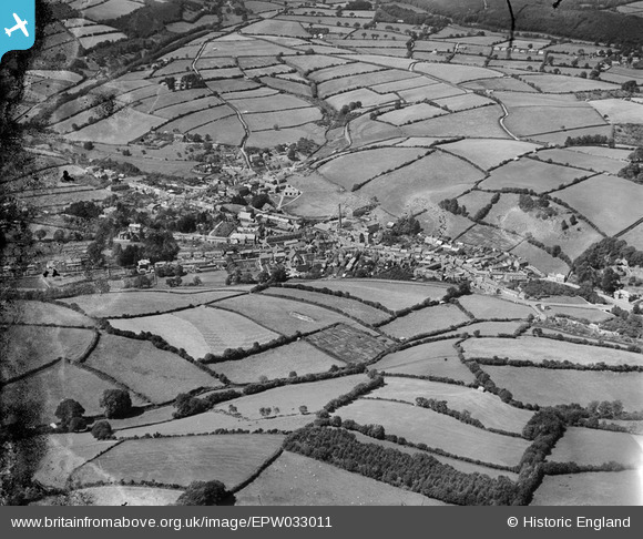
EPW033011 ENGLAND (1930). The town and surrounding countryside, Buckfastleigh, 1930
© Copyright OpenStreetMap contributors and licensed by the OpenStreetMap Foundation. 2025. Cartography is licensed as CC BY-SA.
Nearby Images (4)
EPW033011

EPW033009

EPW033013

EPW033010

Details
| Title | [EPW033011] The town and surrounding countryside, Buckfastleigh, 1930 |
| Reference | EPW033011 |
| Date | July-1930 |
| Link | |
| Place name | BUCKFASTLEIGH |
| Parish | BUCKFASTLEIGH |
| District | |
| Country | ENGLAND |
| Easting / Northing | 273918, 66073 |
| Longitude / Latitude | -3.777264176502, 50.480293753503 |
| National Grid Reference | SX739661 |
Pins
Be the first to add a comment to this image!