
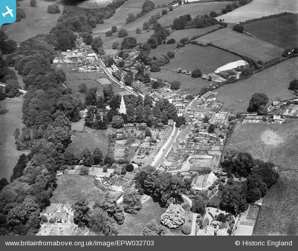
EPW032703 ENGLAND (1930). The village, Hursley, 1930
© Copyright OpenStreetMap contributors and licensed by the OpenStreetMap Foundation. 2025. Cartography is licensed as CC BY-SA.
Nearby Images (2)
EPW032703

EPW032309

Details
| Title | [EPW032703] The village, Hursley, 1930 |
| Reference | EPW032703 |
| Date | June-1930 |
| Link | |
| Place name | HURSLEY |
| Parish | HURSLEY |
| District | |
| Country | ENGLAND |
| Easting / Northing | 442809, 125262 |
| Longitude / Latitude | -1.3895372935063, 51.024593490344 |
| National Grid Reference | SU428253 |
Pins

JohnParker |
Tuesday 27th of August 2013 12:42:09 AM |