
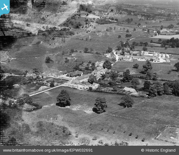
EPW032691 ENGLAND (1930). The village, Briantspuddle, from the south-west, 1930. This image has been produced from a damaged negative.
© Copyright OpenStreetMap contributors and licensed by the OpenStreetMap Foundation. 2026. Cartography is licensed as CC BY-SA.
Nearby Images (6)
EPW032691

EPW032352

EPW032351

EPW032354

EPW032353

EPW032350

Details
| Title | [EPW032691] The village, Briantspuddle, from the south-west, 1930. This image has been produced from a damaged negative. |
| Reference | EPW032691 |
| Date | June-1930 |
| Link | |
| Place name | BRIANTSPUDDLE |
| Parish | AFFPUDDLE |
| District | |
| Country | ENGLAND |
| Easting / Northing | 381493, 93131 |
| Longitude / Latitude | -2.2622917001455, 50.736924148769 |
| National Grid Reference | SY815931 |
Pins
Be the first to add a comment to this image!