
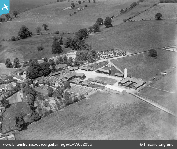
EPW032655 ENGLAND (1930). Sonning Farm, Sonning, 1930
© Copyright OpenStreetMap contributors and licensed by the OpenStreetMap Foundation. 2026. Cartography is licensed as CC BY-SA.
Nearby Images (6)
EPW032655

EPW032656

EPW032653

EPW032657

EPW032654

EPW036207

Details
| Title | [EPW032655] Sonning Farm, Sonning, 1930 |
| Reference | EPW032655 |
| Date | June-1930 |
| Link | |
| Place name | SONNING |
| Parish | SONNING |
| District | |
| Country | ENGLAND |
| Easting / Northing | 476191, 175480 |
| Longitude / Latitude | -0.90288443492689, 51.472660817797 |
| National Grid Reference | SU762755 |
Pins
Be the first to add a comment to this image!