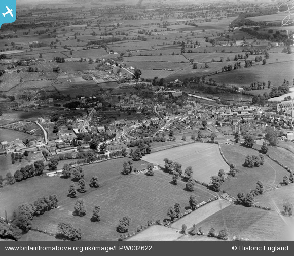
EPW032622 ENGLAND (1930). The town and surrounding countryside, Malmesbury, 1930
© Copyright OpenStreetMap contributors and licensed by the OpenStreetMap Foundation. 2026. Cartography is licensed as CC BY-SA.
Details
| Title | [EPW032622] The town and surrounding countryside, Malmesbury, 1930 |
| Reference | EPW032622 |
| Date | June-1930 |
| Link | |
| Place name | MALMESBURY |
| Parish | MALMESBURY |
| District | |
| Country | ENGLAND |
| Easting / Northing | 392951, 187391 |
| Longitude / Latitude | -2.1017507976621, 51.584857925212 |
| National Grid Reference | ST930874 |


![[EPW032622] The town and surrounding countryside, Malmesbury, 1930](http://britainfromabove.org.uk/sites/all/libraries/aerofilms-images/public/100x100/EPW/032/EPW032622.jpg)
![[EPW032620] Daniel's Well, St Mary and St Aldhelm's Abbey Church and the town, Malmesbury, 1930](http://britainfromabove.org.uk/sites/all/libraries/aerofilms-images/public/100x100/EPW/032/EPW032620.jpg)
![[EAW018021] St Paul's Church Bell Tower, Malmesbury Abbey and the town, Malmesbury, 1948. This image has been produced from a print.](http://britainfromabove.org.uk/sites/all/libraries/aerofilms-images/public/100x100/EAW/018/EAW018021.jpg)
