
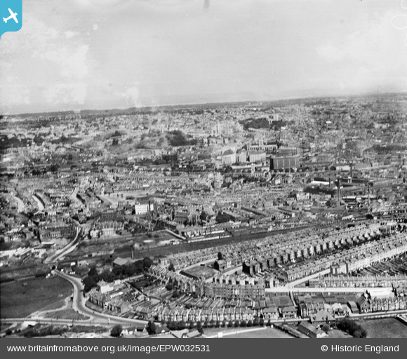
EPW032531 ENGLAND (1930). Housing at Windmill Hill and the city, Bristol, from the south-east, 1930
© Copyright OpenStreetMap contributors and licensed by the OpenStreetMap Foundation. 2026. Cartography is licensed as CC BY-SA.
Nearby Images (9)
EPW032531

EAW032248

EAW032250

EAW032246

EAW032253

EAW032247

EAW032249

EAW032251

EAW032252

Details
| Title | [EPW032531] Housing at Windmill Hill and the city, Bristol, from the south-east, 1930 |
| Reference | EPW032531 |
| Date | June-1930 |
| Link | |
| Place name | BRISTOL |
| Parish | |
| District | |
| Country | ENGLAND |
| Easting / Northing | 358562, 171277 |
| Longitude / Latitude | -2.5962370572181, 51.438480965731 |
| National Grid Reference | ST586713 |
Pins

teadog |
Saturday 3rd of February 2018 11:36:20 PM | |
|
teadog |
Saturday 3rd of February 2018 11:35:48 PM | |
|
teadog |
Saturday 3rd of February 2018 11:35:20 PM | |
|
Hillzider |
Thursday 7th of March 2013 12:06:18 PM | |
|
kent2 |
Wednesday 12th of December 2012 11:44:25 AM | |
|
kent2 |
Wednesday 12th of December 2012 11:42:56 AM | |
|
kent2 |
Wednesday 12th of December 2012 11:42:23 AM | |
|
kent2 |
Wednesday 12th of December 2012 11:41:18 AM | |
|
kent2 |
Wednesday 12th of December 2012 11:40:16 AM | |
|
kent2 |
Wednesday 12th of December 2012 11:39:28 AM | |
|
kent2 |
Wednesday 12th of December 2012 11:38:41 AM |
User Comment Contributions
Beautiful photograph but of poor quality. Must be a disappointment to older generation Bristolians of which, at the age of 75 years, I am one. |
kent2 |
Wednesday 12th of December 2012 11:50:09 AM |