
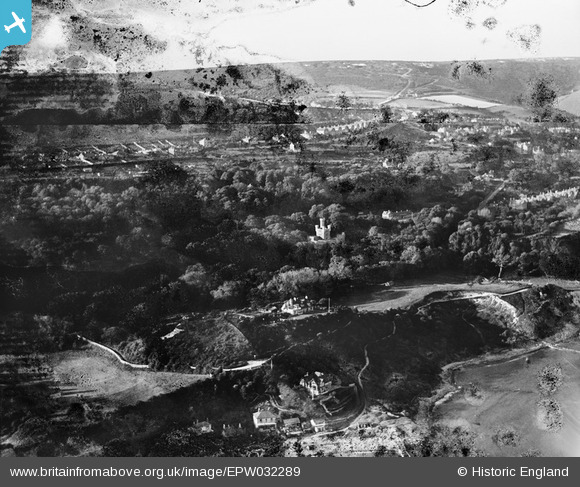
EPW032289 ENGLAND (1930). Steephill, Steephill Castle and Rew Down, Ventnor, from the south, 1930. This image has been produced from a damaged negative.
© Copyright OpenStreetMap contributors and licensed by the OpenStreetMap Foundation. 2026. Cartography is licensed as CC BY-SA.
Nearby Images (6)
EPW032289

EPW000796

EPW039652

EPW022984

EPW032241

EPW043015

Details
| Title | [EPW032289] Steephill, Steephill Castle and Rew Down, Ventnor, from the south, 1930. This image has been produced from a damaged negative. |
| Reference | EPW032289 |
| Date | June-1930 |
| Link | |
| Place name | VENTNOR |
| Parish | VENTNOR |
| District | |
| Country | ENGLAND |
| Easting / Northing | 455134, 76979 |
| Longitude / Latitude | -1.2210508869464, 50.589346997401 |
| National Grid Reference | SZ551770 |
Pins
Be the first to add a comment to this image!