
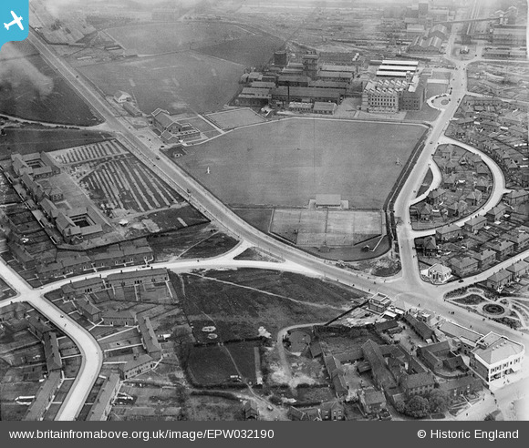
EPW032190 ENGLAND (1930). Belasis Lane Sports Ground and environs, Billingham, 1930
© Copyright OpenStreetMap contributors and licensed by the OpenStreetMap Foundation. 2026. Cartography is licensed as CC BY-SA.
Nearby Images (16)
EPW032190

EPW032199

EPW032708

EPW032726

EPW032187

EPW032725

EPW032722

EPW032732

EPW032189

EPW032198

EPW032186

EPW032709

EPW032225

EPW032229

EPW032741

EPW032195

Details
| Title | [EPW032190] Belasis Lane Sports Ground and environs, Billingham, 1930 |
| Reference | EPW032190 |
| Date | May-1930 |
| Link | |
| Place name | BILLINGHAM |
| Parish | BILLINGHAM |
| District | |
| Country | ENGLAND |
| Easting / Northing | 446193, 522478 |
| Longitude / Latitude | -1.2849829409165, 54.595251101746 |
| National Grid Reference | NZ462225 |
Pins

Jitty |
Thursday 24th of July 2014 09:08:00 AM | |
|
Jitty |
Thursday 24th of July 2014 09:07:34 AM | |
|
Jitty |
Thursday 24th of July 2014 09:07:08 AM | |

Class31 |
Wednesday 7th of November 2012 11:44:15 AM | |
|
Class31 |
Wednesday 7th of November 2012 11:43:33 AM | |
|
Class31 |
Wednesday 7th of November 2012 11:43:08 AM | |
|
Class31 |
Wednesday 7th of November 2012 11:42:49 AM | |
|
Class31 |
Wednesday 7th of November 2012 11:41:53 AM | |
|
Class31 |
Wednesday 7th of November 2012 11:41:32 AM |