
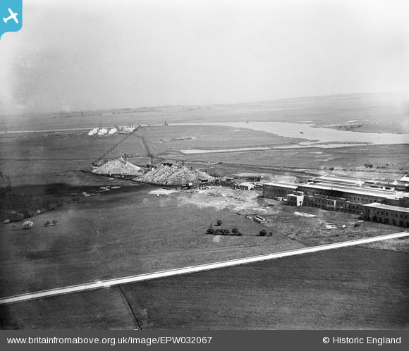
EPW032067 ENGLAND (1930). Kemsley Paper Mill and environs, Kemsley, from the south-west, 1930
© Copyright OpenStreetMap contributors and licensed by the OpenStreetMap Foundation. 2026. Cartography is licensed as CC BY-SA.
Nearby Images (5)
EPW032067

EPW051144

EPW032090

EPW051146

EPW051145

Details
| Title | [EPW032067] Kemsley Paper Mill and environs, Kemsley, from the south-west, 1930 |
| Reference | EPW032067 |
| Date | May-1930 |
| Link | |
| Place name | KEMSLEY |
| Parish | |
| District | |
| Country | ENGLAND |
| Easting / Northing | 591561, 166280 |
| Longitude / Latitude | 0.75197731518944, 51.362734804847 |
| National Grid Reference | TQ916663 |
Pins
Be the first to add a comment to this image!