
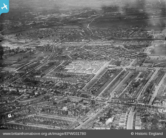
EPW031780 ENGLAND (1930). The Cleverly Estate, Shepherd's Bush, from the south-east, 1930
© Copyright OpenStreetMap contributors and licensed by the OpenStreetMap Foundation. 2026. Cartography is licensed as CC BY-SA.
Nearby Images (4)
EPW031780

EPW031782

EPW031781

EPW031783

Details
| Title | [EPW031780] The Cleverly Estate, Shepherd's Bush, from the south-east, 1930 |
| Reference | EPW031780 |
| Date | April-1930 |
| Link | |
| Place name | SHEPHERD'S BUSH |
| Parish | |
| District | |
| Country | ENGLAND |
| Easting / Northing | 522248, 180123 |
| Longitude / Latitude | -0.23834992213749, 51.506315914749 |
| National Grid Reference | TQ222801 |
