
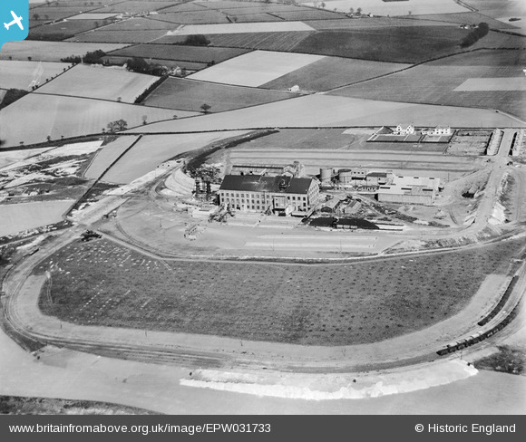
EPW031733 ENGLAND (1930). The United Sugar Co Sugar Beet Factory, Bury St Edmunds, 1930
© Copyright OpenStreetMap contributors and licensed by the OpenStreetMap Foundation. 2025. Cartography is licensed as CC BY-SA.
Nearby Images (8)
EPW031733

EPW031735

EPW031739

EPW031736

EPW031734

EPW031737

EPW031738

EPW031740

Details
| Title | [EPW031733] The United Sugar Co Sugar Beet Factory, Bury St Edmunds, 1930 |
| Reference | EPW031733 |
| Date | May-1930 |
| Link | |
| Place name | BURY ST EDMUNDS |
| Parish | BURY ST. EDMUNDS |
| District | |
| Country | ENGLAND |
| Easting / Northing | 586096, 265431 |
| Longitude / Latitude | 0.72681773213841, 52.255129942102 |
| National Grid Reference | TL861654 |
Pins

Dank |
Tuesday 29th of September 2015 11:52:23 AM |