
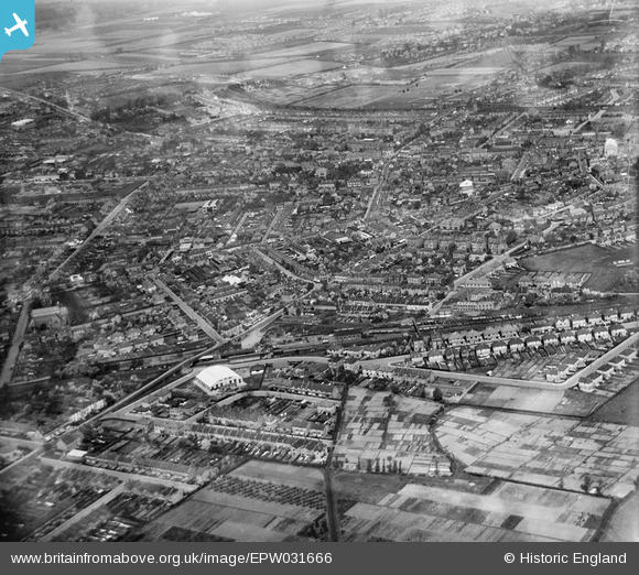
EPW031666 ENGLAND (1930). Whitton Road and environs, Hounslow, from the south-east, 1930
© Copyright OpenStreetMap contributors and licensed by the OpenStreetMap Foundation. 2026. Cartography is licensed as CC BY-SA.
Nearby Images (2)
EPW031666

EPW035101

Details
| Title | [EPW031666] Whitton Road and environs, Hounslow, from the south-east, 1930 |
| Reference | EPW031666 |
| Date | April-1930 |
| Link | |
| Place name | HOUNSLOW |
| Parish | |
| District | |
| Country | ENGLAND |
| Easting / Northing | 513963, 174927 |
| Longitude / Latitude | -0.35936329688956, 51.461341845089 |
| National Grid Reference | TQ140749 |
Pins

Leslie B |
Friday 13th of January 2023 09:51:41 PM | |
|
Leslie B |
Friday 13th of January 2023 09:41:44 PM | |
|
Leslie B |
Friday 13th of January 2023 09:26:44 PM | |
|
cbe |
Saturday 26th of December 2020 01:38:07 PM | |
|
Leslie B |
Thursday 9th of November 2017 05:52:57 PM | |
|
Leslie B |
Thursday 9th of November 2017 05:51:39 PM | |
|
Isleworth1961 |
Monday 11th of February 2013 03:22:58 PM | |
|
Isleworth1961 |
Tuesday 23rd of October 2012 08:39:16 PM | |
|
Isleworth1961 |
Tuesday 23rd of October 2012 08:37:53 PM | |
|
Isleworth1961 |
Tuesday 23rd of October 2012 08:34:26 PM | |
|
Isleworth1961 |
Tuesday 23rd of October 2012 08:32:49 PM |
User Comment Contributions

Does anyone know what the white buiding next to Hounslow station was originally used for?? It's still in use today...{2012}...making television, film and exhibition scenery. |
DepotCat |
Monday 11th of February 2013 03:25:22 PM |
I've pinned this building on the image - was built as a linoleum works. |
Isleworth1961 |
Monday 11th of February 2013 03:25:22 PM |