
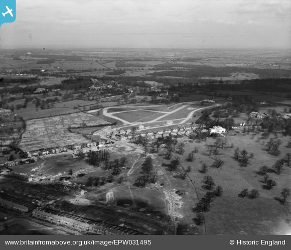
EPW031495 ENGLAND (1930). Little Grove, Cat Hill, Cockfosters and surrounding countryside, East Barnet, from the south, 1930
© Copyright OpenStreetMap contributors and licensed by the OpenStreetMap Foundation. 2026. Cartography is licensed as CC BY-SA.
Nearby Images (2)
EPW031495

EPW061338

Details
| Title | [EPW031495] Little Grove, Cat Hill, Cockfosters and surrounding countryside, East Barnet, from the south, 1930 |
| Reference | EPW031495 |
| Date | February-1930 |
| Link | |
| Place name | EAST BARNET |
| Parish | |
| District | |
| Country | ENGLAND |
| Easting / Northing | 527636, 195470 |
| Longitude / Latitude | -0.15517118364033, 51.643059341842 |
| National Grid Reference | TQ276955 |
Pins
 |

Downloader141 |
Thursday 21st of March 2024 09:33:21 PM |

East Barnet Stan |
Wednesday 9th of March 2016 06:34:24 PM | |
|
Ray Flack |
Friday 17th of October 2014 10:40:24 AM | |
|
Ray Flack |
Friday 17th of October 2014 10:37:53 AM | |
|
Ray Flack |
Friday 17th of October 2014 10:36:48 AM | |
|
Ray Flack |
Friday 17th of October 2014 10:36:22 AM | |
|
Ray Flack |
Friday 17th of October 2014 10:34:43 AM |
