
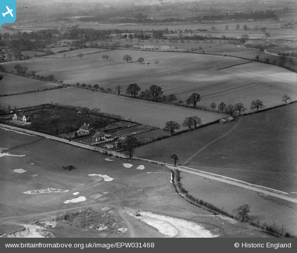
EPW031468 ENGLAND (1930). Sandy Lodge Lane, Sandy Lodge Golf Course and Common Moor, Moor Park, 1930
© Copyright OpenStreetMap contributors and licensed by the OpenStreetMap Foundation. 2026. Cartography is licensed as CC BY-SA.
Nearby Images (11)
EPW031468

EPW031471

EPW031467

EPR000495

EPW040898

EPW031286

EPR000496

EPW040889

EPW040895

EPW040899

EPR000494

Details
| Title | [EPW031468] Sandy Lodge Lane, Sandy Lodge Golf Course and Common Moor, Moor Park, 1930 |
| Reference | EPW031468 |
| Date | February-1930 |
| Link | |
| Place name | MOOR PARK |
| Parish | |
| District | |
| Country | ENGLAND |
| Easting / Northing | 509330, 193790 |
| Longitude / Latitude | -0.4201704290441, 51.631815907503 |
| National Grid Reference | TQ093938 |
Pins
Be the first to add a comment to this image!