
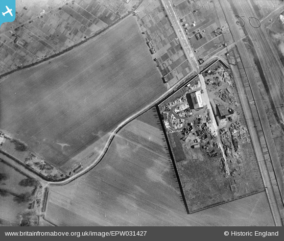
EPW031427 ENGLAND (1930). Potter's Grange Junction, Goole, 1930
© Copyright OpenStreetMap contributors and licensed by the OpenStreetMap Foundation. 2026. Cartography is licensed as CC BY-SA.
Nearby Images (4)
EPW031427

EPW031426

EPW031428

EPW031437

Details
| Title | [EPW031427] Potter's Grange Junction, Goole, 1930 |
| Reference | EPW031427 |
| Date | February-1930 |
| Link | |
| Place name | GOOLE |
| Parish | GOOLE |
| District | |
| Country | ENGLAND |
| Easting / Northing | 473677, 423449 |
| Longitude / Latitude | -0.88383611657752, 53.7020428127 |
| National Grid Reference | SE737234 |
Pins
Be the first to add a comment to this image!