
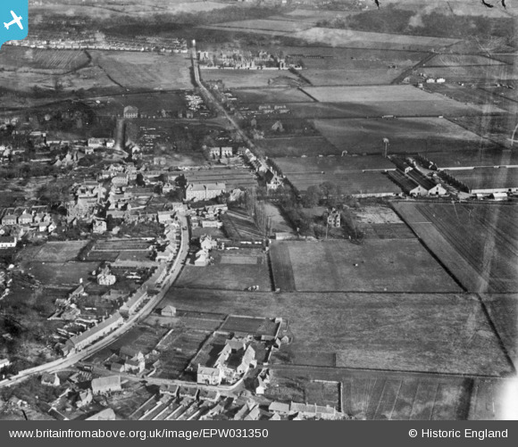
EPW031350 ENGLAND (1930). Between Towns Road, Garsington Road and environs, Cowley, 1930. This image has been produced from a copy-negative.
© Copyright OpenStreetMap contributors and licensed by the OpenStreetMap Foundation. 2026. Cartography is licensed as CC BY-SA.
Nearby Images (7)
EPW031350

EPW031351

EPW031330

EPW031332

EPW031333

EPW031331

EPW031341

Details
| Title | [EPW031350] Between Towns Road, Garsington Road and environs, Cowley, 1930. This image has been produced from a copy-negative. |
| Reference | EPW031350 |
| Date | February-1930 |
| Link | |
| Place name | COWLEY |
| Parish | |
| District | |
| Country | ENGLAND |
| Easting / Northing | 454569, 204205 |
| Longitude / Latitude | -1.2097222430029, 51.733440876746 |
| National Grid Reference | SP546042 |
Pins

David Brimson |
Thursday 28th of November 2019 03:01:26 PM | |
|
David Brimson |
Thursday 28th of November 2019 03:00:41 PM | |
|
David Brimson |
Monday 14th of October 2019 10:21:27 PM |