
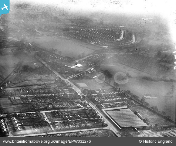
EPW031276 ENGLAND (1930). Hillingdon Heath, Hayes End and environs, Hayes, from the north-west, 1930
© Copyright OpenStreetMap contributors and licensed by the OpenStreetMap Foundation. 2026. Cartography is licensed as CC BY-SA.
Nearby Images (11)
EPW031276

EAW031774

EAW031770

EAW031771

EAW031769

EAW031766

EAW031768

EAW031767

EAW031772

EAW031773

EPW054666

Details
| Title | [EPW031276] Hillingdon Heath, Hayes End and environs, Hayes, from the north-west, 1930 |
| Reference | EPW031276 |
| Date | 11-February-1930 |
| Link | |
| Place name | HAYES |
| Parish | |
| District | |
| Country | ENGLAND |
| Easting / Northing | 508043, 182170 |
| Longitude / Latitude | -0.44233616330246, 51.527611829947 |
| National Grid Reference | TQ080822 |
