
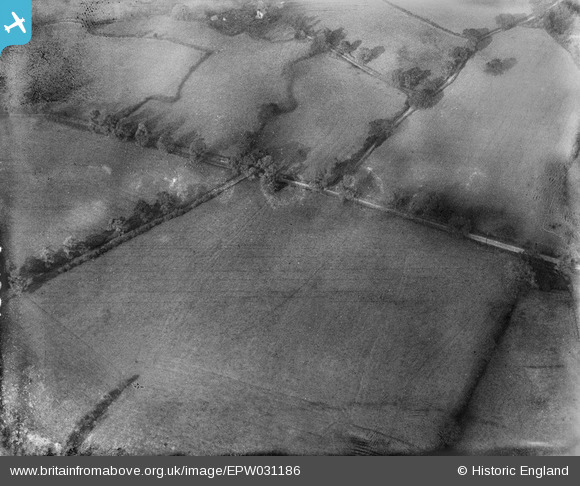
EPW031186 ENGLAND (1929). Watling Street, the site of Pennocrucium Romano-British settlement and Eaton House Roman fort, Brewood, 1929
© Copyright OpenStreetMap contributors and licensed by the OpenStreetMap Foundation. 2025. Cartography is licensed as CC BY-SA.
Nearby Images (2)
EPW031186

EPW031185

Details
| Title | [EPW031186] Watling Street, the site of Pennocrucium Romano-British settlement and Eaton House Roman fort, Brewood, 1929 |
| Reference | EPW031186 |
| Date | November-1929 |
| Link | |
| Place name | BREWOOD |
| Parish | BREWOOD AND COVEN |
| District | |
| Country | ENGLAND |
| Easting / Northing | 390478, 310641 |
| Longitude / Latitude | -2.1409020422822, 52.693024194702 |
| National Grid Reference | SJ905106 |
Pins
Be the first to add a comment to this image!