
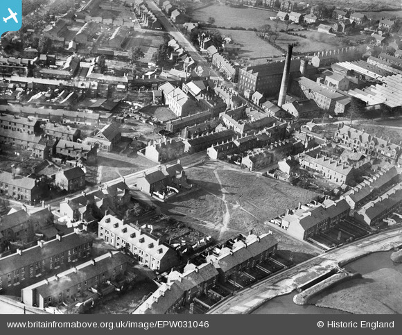
EPW031046 ENGLAND (1929). Church Street and environs, Marple, 1929
© Copyright OpenStreetMap contributors and licensed by the OpenStreetMap Foundation. 2026. Cartography is licensed as CC BY-SA.
Nearby Images (4)
EPW031046

EPW031049

EPW031050

EPW031048

Details
| Title | [EPW031046] Church Street and environs, Marple, 1929 |
| Reference | EPW031046 |
| Date | October-1929 |
| Link | |
| Place name | MARPLE |
| Parish | |
| District | |
| Country | ENGLAND |
| Easting / Northing | 395983, 388539 |
| Longitude / Latitude | -2.0604129590571, 53.393407519331 |
| National Grid Reference | SJ960885 |
Pins

buryblackpud |
Friday 16th of February 2024 04:08:21 PM | |
|
buryblackpud |
Friday 16th of February 2024 04:06:59 PM | |
|
John Ellis |
Friday 13th of September 2013 08:50:02 PM | |
|
John Ellis |
Friday 13th of September 2013 08:49:10 PM | |
|
John Ellis |
Friday 13th of September 2013 08:48:24 PM | |
|
John Ellis |
Friday 13th of September 2013 08:47:46 PM | |
|
John Ellis |
Friday 13th of September 2013 08:46:24 PM |