
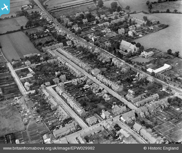
EPW029982 ENGLAND (1929). Cotterell Street and environs, Hereford, 1929
© Copyright OpenStreetMap contributors and licensed by the OpenStreetMap Foundation. 2026. Cartography is licensed as CC BY-SA.
Details
| Title | [EPW029982] Cotterell Street and environs, Hereford, 1929 |
| Reference | EPW029982 |
| Date | September-1929 |
| Link | |
| Place name | HEREFORD |
| Parish | HEREFORD |
| District | |
| Country | ENGLAND |
| Easting / Northing | 349856, 240293 |
| Longitude / Latitude | -2.731449972296, 52.05832769276 |
| National Grid Reference | SO499403 |
Pins

Dr. David Woods |
Friday 5th of February 2016 03:04:28 PM | |

Class31 |
Friday 19th of October 2012 10:53:41 PM | |
|
Class31 |
Friday 19th of October 2012 10:50:44 PM | |
|
Class31 |
Friday 19th of October 2012 10:48:48 PM | |
|
Class31 |
Friday 19th of October 2012 10:48:18 PM | |
|
Class31 |
Friday 19th of October 2012 10:47:40 PM | |
|
Class31 |
Friday 19th of October 2012 10:46:55 PM | |
|
Class31 |
Friday 19th of October 2012 10:46:27 PM | |
|
Class31 |
Friday 19th of October 2012 10:44:35 PM | |
|
Class31 |
Friday 19th of October 2012 10:44:02 PM |
User Comment Contributions
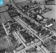
Cotterell Street and environs, Hereford, 1929 |
Hollybush |
Wednesday 24th of October 2012 08:56:07 PM |