
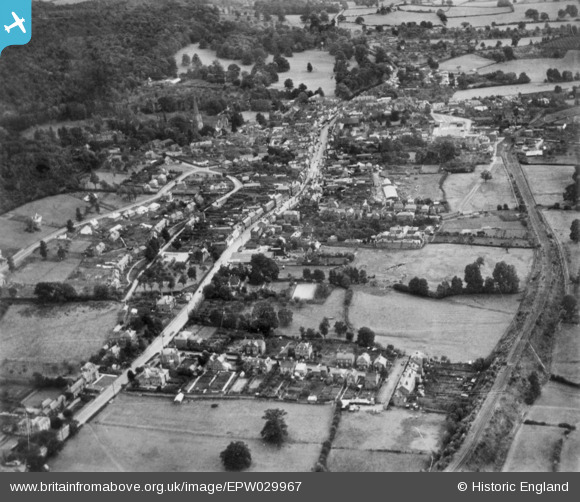
EPW029967 ENGLAND (1929). The town, Ledbury, 1929. This image has been produced from a copy-negative.
© Copyright OpenStreetMap contributors and licensed by the OpenStreetMap Foundation. 2026. Cartography is licensed as CC BY-SA.
Nearby Images (3)
EPW029967

EPW029971

EPW029970

Details
| Title | [EPW029967] The town, Ledbury, 1929. This image has been produced from a copy-negative. |
| Reference | EPW029967 |
| Date | September-1929 |
| Link | |
| Place name | LEDBURY |
| Parish | LEDBURY |
| District | |
| Country | ENGLAND |
| Easting / Northing | 370910, 238125 |
| Longitude / Latitude | -2.4241633015425, 52.040340140266 |
| National Grid Reference | SO709381 |
