
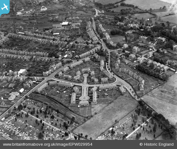
EPW029954 ENGLAND (1929). Breinton Avenue and environs, Hereford, 1929
© Copyright OpenStreetMap contributors and licensed by the OpenStreetMap Foundation. 2026. Cartography is licensed as CC BY-SA.
Details
| Title | [EPW029954] Breinton Avenue and environs, Hereford, 1929 |
| Reference | EPW029954 |
| Date | September-1929 |
| Link | |
| Place name | HEREFORD |
| Parish | HEREFORD |
| District | |
| Country | ENGLAND |
| Easting / Northing | 349846, 239822 |
| Longitude / Latitude | -2.731526655124, 52.054092063707 |
| National Grid Reference | SO498398 |
Pins

gBr |
Monday 14th of September 2015 05:37:12 PM |
User Comment Contributions

Breinton Avenue and environs, Hereford, 1929 |
Hollybush |
Wednesday 24th of October 2012 08:58:23 PM |