
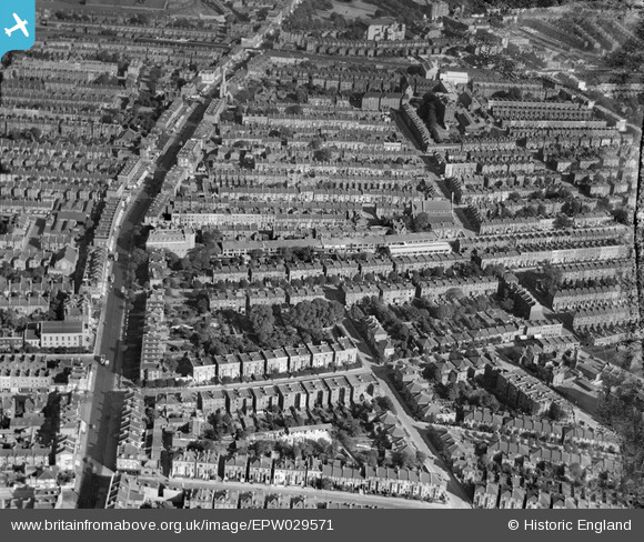
EPW029571 ENGLAND (1929). Uxbridge Road and environs, Shepherd's Bush, 1929
© Copyright OpenStreetMap contributors and licensed by the OpenStreetMap Foundation. 2026. Cartography is licensed as CC BY-SA.
Nearby Images (9)
EPW029571

EPW029579

EPW029572

EPW029574

EPW029578

EPW029573

EPW029575

EPW029576

EPW029577

Details
| Title | [EPW029571] Uxbridge Road and environs, Shepherd's Bush, 1929 |
| Reference | EPW029571 |
| Date | September-1929 |
| Link | |
| Place name | SHEPHERD'S BUSH |
| Parish | |
| District | |
| Country | ENGLAND |
| Easting / Northing | 522647, 179958 |
| Longitude / Latitude | -0.23266047786021, 51.504746387773 |
| National Grid Reference | TQ226800 |
Pins

Leslie B |
Sunday 25th of December 2022 09:43:22 PM | |
|
peterhurst |
Tuesday 22nd of May 2018 07:38:59 PM | |
|
Wordy |
Wednesday 25th of May 2016 06:05:30 PM | |

Class31 |
Wednesday 19th of March 2014 09:11:23 AM | |
|
Class31 |
Wednesday 19th of March 2014 09:01:36 AM | |
|
Class31 |
Wednesday 19th of March 2014 09:01:08 AM | |
|
Class31 |
Wednesday 19th of March 2014 09:00:49 AM | |
|
Class31 |
Wednesday 19th of March 2014 09:00:30 AM | |
|
Class31 |
Wednesday 19th of March 2014 09:00:06 AM |
User Comment Contributions
View looking east. |
Class31 |
Wednesday 19th of March 2014 09:01:58 AM |