
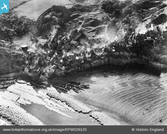
EPW029120 ENGLAND (1929). The village, Robin Hood's Bay, 1929. This image has been produced from a copy-negative.
© Copyright OpenStreetMap contributors and licensed by the OpenStreetMap Foundation. 2025. Cartography is licensed as CC BY-SA.
Nearby Images (4)
EPW029120

EPW029115

EPW029116

EPW029121

Details
| Title | [EPW029120] The village, Robin Hood's Bay, 1929. This image has been produced from a copy-negative. |
| Reference | EPW029120 |
| Date | September-1929 |
| Link | |
| Place name | ROBIN HOOD'S BAY |
| Parish | FYLINGDALES |
| District | |
| Country | ENGLAND |
| Easting / Northing | 495322, 504902 |
| Longitude / Latitude | -0.53040751984232, 54.43045246098 |
| National Grid Reference | NZ953049 |
Pins
Be the first to add a comment to this image!
User Comment Contributions
Robin Hood's Bay |

Alan McFaden |
Saturday 15th of November 2014 04:55:57 PM |
Robin Hood's Bay |
Alan McFaden |
Saturday 15th of November 2014 04:55:38 PM |
Robin Hood's Bay |
Alan McFaden |
Saturday 15th of November 2014 04:55:09 PM |
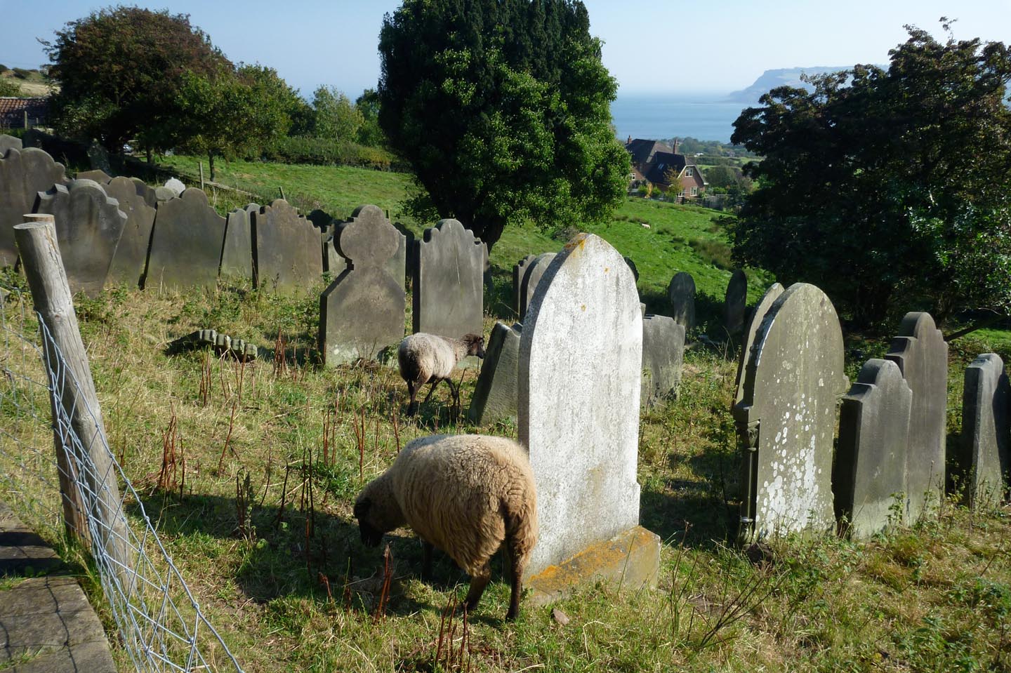
Robin Hood's Bay from Saint Stephen's Church |
Alan McFaden |
Saturday 15th of November 2014 04:54:46 PM |
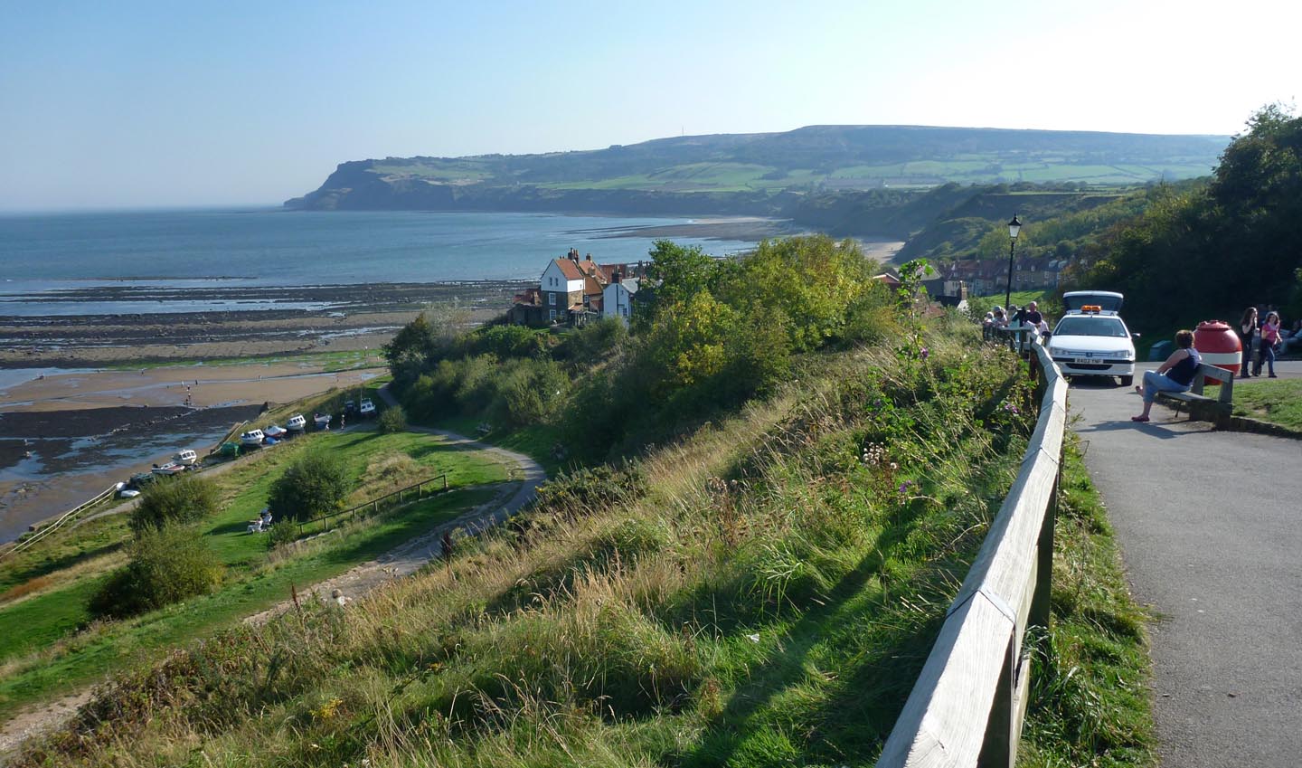
Robin Hood's Bay |
Alan McFaden |
Saturday 15th of November 2014 04:54:12 PM |