
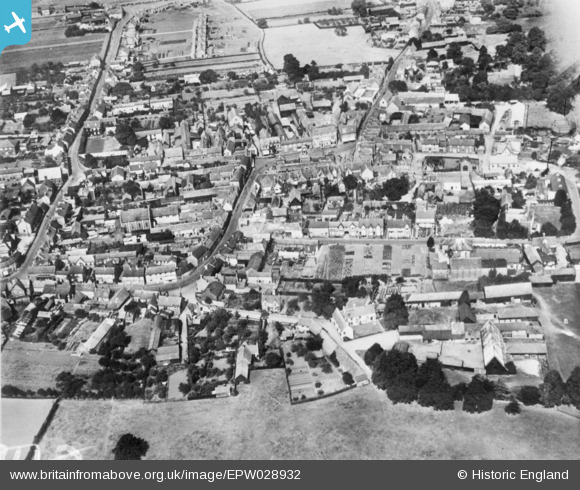
EPW028932 ENGLAND (1929). The town, Potton, 1929. This image has been produced from a copy-negative.
© Copyright OpenStreetMap contributors and licensed by the OpenStreetMap Foundation. 2026. Cartography is licensed as CC BY-SA.
Nearby Images (2)
EPW028932

EPW028931

Details
| Title | [EPW028932] The town, Potton, 1929. This image has been produced from a copy-negative. |
| Reference | EPW028932 |
| Date | September-1929 |
| Link | |
| Place name | POTTON |
| Parish | POTTON |
| District | |
| Country | ENGLAND |
| Easting / Northing | 522321, 249115 |
| Longitude / Latitude | -0.21292886326549, 52.126379778588 |
| National Grid Reference | TL223491 |
