
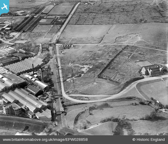
EPW028858 ENGLAND (1929). The General Electric Company Works and adjacent allotments, Witton, 1929
© Copyright OpenStreetMap contributors and licensed by the OpenStreetMap Foundation. 2026. Cartography is licensed as CC BY-SA.
Nearby Images (10)
EPW028858

EPW028860

EPW028859

EPW028862

EPW028856

EPW028857

EPW028861

EAW045934

EPW005708

EPW009731

Details
| Title | [EPW028858] The General Electric Company Works and adjacent allotments, Witton, 1929 |
| Reference | EPW028858 |
| Date | 30-August-1929 |
| Link | |
| Place name | WITTON |
| Parish | |
| District | |
| Country | ENGLAND |
| Easting / Northing | 408993, 290666 |
| Longitude / Latitude | -1.867468995765, 52.513442091895 |
| National Grid Reference | SP090907 |
