
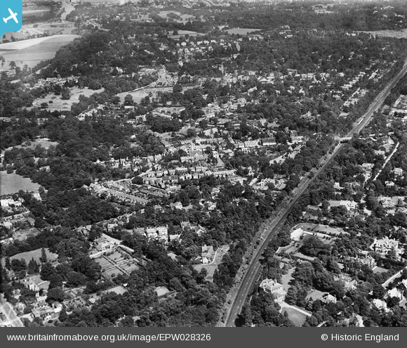
EPW028326 ENGLAND (1929). The London and Southampton Trunk Line and Oatlands Park, Weybridge, from the south-west, 1929
© Copyright OpenStreetMap contributors and licensed by the OpenStreetMap Foundation. 2026. Cartography is licensed as CC BY-SA.
Nearby Images (3)
EPW028326

EPW017542

EPW028328

Details
| Title | [EPW028326] The London and Southampton Trunk Line and Oatlands Park, Weybridge, from the south-west, 1929 |
| Reference | EPW028326 |
| Date | August-1929 |
| Link | |
| Place name | WEYBRIDGE |
| Parish | |
| District | |
| Country | ENGLAND |
| Easting / Northing | 507966, 164072 |
| Longitude / Latitude | -0.44896865699414, 51.364938575027 |
| National Grid Reference | TQ080641 |
Pins

Curious |
Saturday 2nd of November 2019 09:46:01 PM | |
|
richardj |
Friday 3rd of March 2017 06:36:14 PM | |
|
richardj |
Friday 3rd of March 2017 06:35:31 PM | |
|
richardj |
Friday 3rd of March 2017 06:34:42 PM | |
|
richardj |
Friday 3rd of March 2017 06:33:25 PM | |
|
richardj |
Friday 3rd of March 2017 06:32:42 PM | |
|
richardj |
Thursday 2nd of March 2017 05:25:48 PM |