
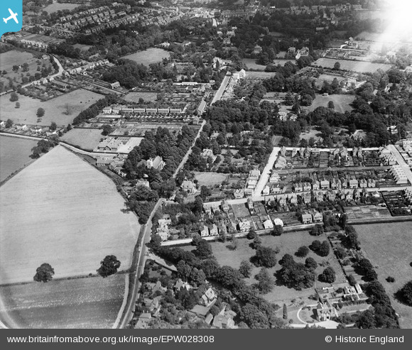
EPW028308 ENGLAND (1929). St Paul's Church and Church Road, Addlestone, 1929
© Copyright OpenStreetMap contributors and licensed by the OpenStreetMap Foundation. 2026. Cartography is licensed as CC BY-SA.
Nearby Images (2)
EPW028308

EPW028309

Details
| Title | [EPW028308] St Paul's Church and Church Road, Addlestone, 1929 |
| Reference | EPW028308 |
| Date | August-1929 |
| Link | |
| Place name | ADDLESTONE |
| Parish | |
| District | |
| Country | ENGLAND |
| Easting / Northing | 504382, 164316 |
| Longitude / Latitude | -0.50036520369633, 51.367802190796 |
| National Grid Reference | TQ044643 |
Pins

GrahamPD |
Tuesday 17th of December 2013 10:03:37 AM | |
|
SueCool |
Tuesday 27th of August 2013 09:14:51 PM | |
|
SueCool |
Tuesday 27th of August 2013 09:13:49 PM | |
|
SueCool |
Tuesday 27th of August 2013 09:07:41 PM | |
|
SueCool |
Tuesday 27th of August 2013 09:06:46 PM | |
|
SueCool |
Tuesday 27th of August 2013 09:05:43 PM | |
|
SueCool |
Tuesday 27th of August 2013 09:04:57 PM | |
|
SueCool |
Tuesday 27th of August 2013 09:04:10 PM | |
|
SueCool |
Tuesday 27th of August 2013 09:03:25 PM | |
|
SueCool |
Tuesday 27th of August 2013 09:00:32 PM |