
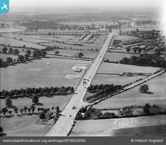
EPW028281 ENGLAND (1929). Sidcup Road, Longlands, from the south-east, 1929
© Copyright OpenStreetMap contributors and licensed by the OpenStreetMap Foundation. 2025. Cartography is licensed as CC BY-SA.
Nearby Images (2)
EPW028281

EPW028285

Details
| Title | [EPW028281] Sidcup Road, Longlands, from the south-east, 1929 |
| Reference | EPW028281 |
| Date | August-1929 |
| Link | |
| Place name | LONGLANDS |
| Parish | |
| District | |
| Country | ENGLAND |
| Easting / Northing | 544675, 172297 |
| Longitude / Latitude | 0.081417680802024, 51.430689749622 |
| National Grid Reference | TQ447723 |
Pins

tbh54uk |
Sunday 5th of January 2014 10:48:43 PM | |
|
tbh54uk |
Sunday 5th of January 2014 10:44:10 PM | |
|
tbh54uk |
Sunday 5th of January 2014 10:41:32 PM | |
|
tbh54uk |
Sunday 5th of January 2014 10:39:36 PM | |
|
tbh54uk |
Sunday 5th of January 2014 10:37:46 PM |