
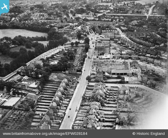
EPW028184 ENGLAND (1929). Finchley Road, Child's Hill, 1929
© Copyright OpenStreetMap contributors and licensed by the OpenStreetMap Foundation. 2024. Cartography is licensed as CC BY-SA.
Nearby Images (2)
EPW028184

EPW028181
 under construction, Child's Hill, 1929")
Details
| Title | [EPW028184] Finchley Road, Child's Hill, 1929 |
| Reference | EPW028184 |
| Date | July-1929 |
| Link | |
| Place name | CHILD'S HILL |
| Parish | |
| District | |
| Country | ENGLAND |
| Easting / Northing | 525118, 186679 |
| Longitude / Latitude | -0.19468337777681, 51.564612928399 |
| National Grid Reference | TQ251867 |
Pins
 Spaceweed |
Sunday 6th of December 2020 09:44:04 PM | |
Spaceweed |
Sunday 6th of December 2020 09:40:41 PM | |
SB83 |
Monday 10th of February 2014 06:37:06 PM | |
SB83 |
Monday 10th of February 2014 06:35:16 PM | |
SB83 |
Monday 10th of February 2014 06:34:45 PM | |
SB83 |
Monday 10th of February 2014 06:33:34 PM | |
SB83 |
Monday 10th of February 2014 06:33:20 PM | |
SB83 |
Monday 10th of February 2014 06:33:02 PM | |
SB83 |
Monday 10th of February 2014 06:32:44 PM |
User Comment Contributions
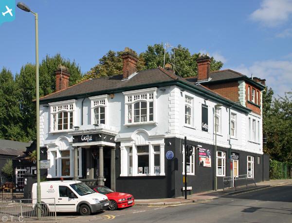
 Waitrose Store late 1920s, Hermitage Lane, Childs Hill. |
Wordsmith52 |
Monday 6th of October 2014 11:18:51 PM |