
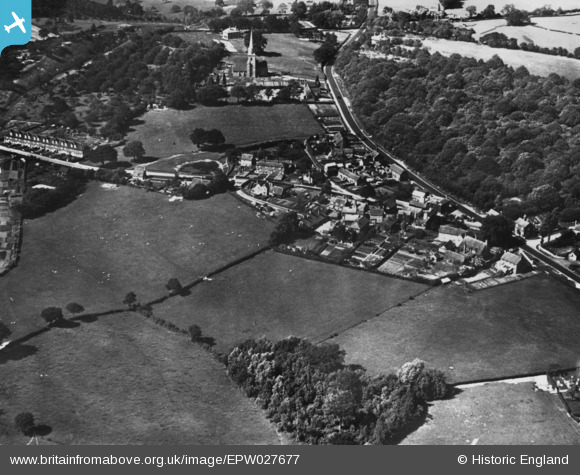
EPW027677 ENGLAND (1929). The village, St Michaels, 1929. This image has been produced from a print.
© Copyright OpenStreetMap contributors and licensed by the OpenStreetMap Foundation. 2026. Cartography is licensed as CC BY-SA.
Nearby Images (2)
EPW027677

EPW027678

Details
| Title | [EPW027677] The village, St Michaels, 1929. This image has been produced from a print. |
| Reference | EPW027677 |
| Date | 23-June-1929 |
| Link | |
| Place name | ST MICHAELS |
| Parish | TENTERDEN |
| District | |
| Country | ENGLAND |
| Easting / Northing | 588533, 135094 |
| Longitude / Latitude | 0.69212536217072, 51.083606122244 |
| National Grid Reference | TQ885351 |
Pins
Be the first to add a comment to this image!