
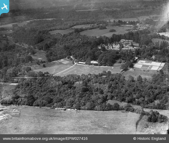
EPW027416 ENGLAND (1929). Fernden School and environs, Kingsley Green, from the south-west, 1929
© Copyright OpenStreetMap contributors and licensed by the OpenStreetMap Foundation. 2026. Cartography is licensed as CC BY-SA.
Nearby Images (7)
EPW027416

EPW027428

EPW027417

EPW027418

EPW027426

EPW027421

EPW027425

Details
| Title | [EPW027416] Fernden School and environs, Kingsley Green, from the south-west, 1929 |
| Reference | EPW027416 |
| Date | May-1929 |
| Link | |
| Place name | KINGSLEY GREEN |
| Parish | FERNHURST |
| District | |
| Country | ENGLAND |
| Easting / Northing | 489800, 130641 |
| Longitude / Latitude | -0.71823677143543, 51.067535007552 |
| National Grid Reference | SU898306 |
Pins
Be the first to add a comment to this image!