
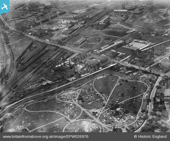
EPW026976 ENGLAND (1929). The Cliffe Vale Potteries, Hanley Cemetery and environs, Hartshill, 1929
© Copyright OpenStreetMap contributors and licensed by the OpenStreetMap Foundation. 2026. Cartography is licensed as CC BY-SA.
Nearby Images (19)
EPW026976

EPW023585

EPW026967

EPW026973

EPW026965

EPW026966

EPW026972

EPW027586

EPW023580

EPW026975

EPW023581

EPW023578

EPW023584

EPW023579

EPW023577

EPW023583

EPW023582

EAW020983

EAW020984

Details
| Title | [EPW026976] The Cliffe Vale Potteries, Hanley Cemetery and environs, Hartshill, 1929 |
| Reference | EPW026976 |
| Date | May-1929 |
| Link | |
| Place name | HARTSHILL |
| Parish | |
| District | |
| Country | ENGLAND |
| Easting / Northing | 387252, 346411 |
| Longitude / Latitude | -2.1900379920587, 53.014544110475 |
| National Grid Reference | SJ873464 |
Pins

gbaddley |
Friday 8th of November 2013 08:50:11 AM | |

bescotbeast |
Thursday 12th of September 2013 06:13:38 PM | |
|
bescotbeast |
Thursday 12th of September 2013 06:12:24 PM | |
|
bescotbeast |
Thursday 12th of September 2013 06:11:59 PM | |
|
bescotbeast |
Thursday 12th of September 2013 06:11:43 PM | |
|
bescotbeast |
Thursday 12th of September 2013 06:11:27 PM |