
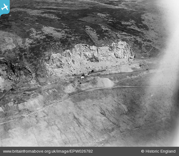
EPW026782 ENGLAND (1929). Shap Granite Quarries, Shap Fells, 1929
© Copyright OpenStreetMap contributors and licensed by the OpenStreetMap Foundation. 2026. Cartography is licensed as CC BY-SA.
Nearby Images (8)
EPW026782

EPW026784

EPW026787

EPW026783

EPW026791

EPW026786

EPW026790

EPW026788

Details
| Title | [EPW026782] Shap Granite Quarries, Shap Fells, 1929 |
| Reference | EPW026782 |
| Date | May-1929 |
| Link | |
| Place name | SHAP FELLS |
| Parish | SHAP RURAL |
| District | |
| Country | ENGLAND |
| Easting / Northing | 355678, 508296 |
| Longitude / Latitude | -2.6839243138497, 54.467961188821 |
| National Grid Reference | NY557083 |
Pins
Be the first to add a comment to this image!