
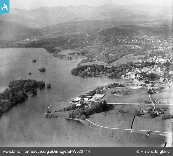
EPW026744 ENGLAND (1929). Bowness Bay, town and hills to the north, Bowness-on-Windermere, from the south, 1929
© Copyright OpenStreetMap contributors and licensed by the OpenStreetMap Foundation. 2026. Cartography is licensed as CC BY-SA.
Nearby Images (11)
EPW026744

EPW004036

EPW004037

EPW026737

EAW037069

EPW026775

EAW026244

EAW025636

EPW004042

EPW004041

EPW004032

Details
| Title | [EPW026744] Bowness Bay, town and hills to the north, Bowness-on-Windermere, from the south, 1929 |
| Reference | EPW026744 |
| Date | May-1929 |
| Link | |
| Place name | BOWNESS-ON-WINDERMERE |
| Parish | WINDERMERE |
| District | |
| Country | ENGLAND |
| Easting / Northing | 339870, 496672 |
| Longitude / Latitude | -2.9254678028094, 54.361871078455 |
| National Grid Reference | SD399967 |
Pins
Be the first to add a comment to this image!