
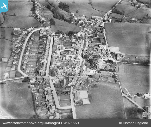
EPW026569 ENGLAND (1929). The village, Sedbergh, 1929
© Copyright OpenStreetMap contributors and licensed by the OpenStreetMap Foundation. 2026. Cartography is licensed as CC BY-SA.
Nearby Images (3)
EPW026569

EPW026563

EPW026568

Details
| Title | [EPW026569] The village, Sedbergh, 1929 |
| Reference | EPW026569 |
| Date | May-1929 |
| Link | |
| Place name | SEDBERGH |
| Parish | SEDBERGH |
| District | |
| Country | ENGLAND |
| Easting / Northing | 365735, 492150 |
| Longitude / Latitude | -2.5268822666527, 54.323623658727 |
| National Grid Reference | SD657922 |
Pins
Be the first to add a comment to this image!