
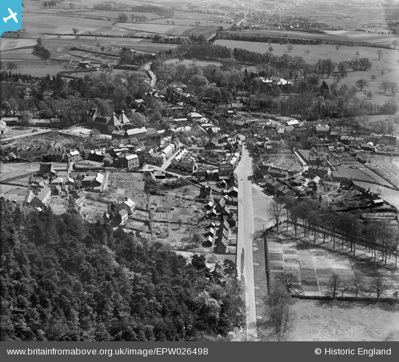
EPW026498 ENGLAND (1929). The town, Ampthill, from the west, 1929
© Copyright OpenStreetMap contributors and licensed by the OpenStreetMap Foundation. 2026. Cartography is licensed as CC BY-SA.
Nearby Images (2)
EPW026498

EPW026496

Details
| Title | [EPW026498] The town, Ampthill, from the west, 1929 |
| Reference | EPW026498 |
| Date | May-1929 |
| Link | |
| Place name | AMPTHILL |
| Parish | AMPTHILL |
| District | |
| Country | ENGLAND |
| Easting / Northing | 503171, 238133 |
| Longitude / Latitude | -0.49591217209142, 52.031575206425 |
| National Grid Reference | TL032381 |
Pins
 |
AmpthillJohn |
Thursday 16th of October 2014 07:15:30 PM |

melgibbs |
Saturday 11th of January 2014 06:40:08 PM | |
|
melgibbs |
Monday 9th of December 2013 08:50:08 PM | |
|
melgibbs |
Monday 9th of December 2013 08:48:41 PM | |
|
melgibbs |
Monday 9th of December 2013 08:47:50 PM |