
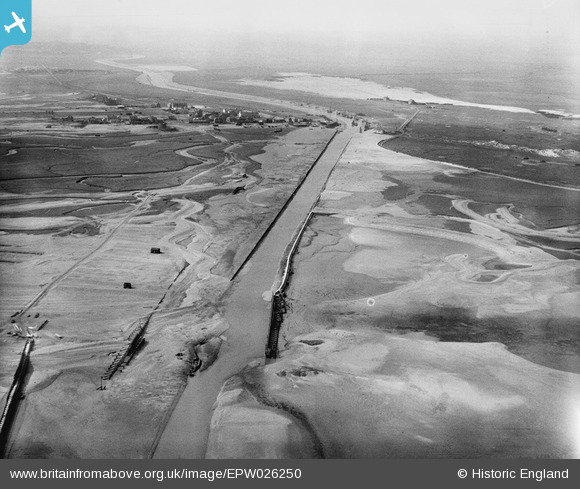
EPW026250 ENGLAND (1929). The River Rother, Rye Harbour, from the south-east, 1929
© Copyright OpenStreetMap contributors and licensed by the OpenStreetMap Foundation. 2026. Cartography is licensed as CC BY-SA.
Nearby Images (2)
EPW026250

EAW022981

Details
| Title | [EPW026250] The River Rother, Rye Harbour, from the south-east, 1929 |
| Reference | EPW026250 |
| Date | 25-April-1929 |
| Link | |
| Place name | RYE HARBOUR |
| Parish | ICKLESHAM |
| District | |
| Country | ENGLAND |
| Easting / Northing | 594893, 118237 |
| Longitude / Latitude | 0.77377692044204, 50.930059587248 |
| National Grid Reference | TQ949182 |
