
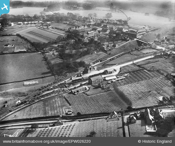
EPW026220 ENGLAND (1929). The railway station and environs, Battle, 1929
© Copyright OpenStreetMap contributors and licensed by the OpenStreetMap Foundation. 2026. Cartography is licensed as CC BY-SA.
Nearby Images (2)
EPW026220

EPW026216

Details
| Title | [EPW026220] The railway station and environs, Battle, 1929 |
| Reference | EPW026220 |
| Date | 24-April-1929 |
| Link | |
| Place name | BATTLE |
| Parish | BATTLE |
| District | |
| Country | ENGLAND |
| Easting / Northing | 575490, 115568 |
| Longitude / Latitude | 0.49663890862487, 50.912309642961 |
| National Grid Reference | TQ755156 |
Pins

Rob |
Thursday 9th of April 2020 09:58:40 AM | |

Maurice |
Saturday 6th of September 2014 11:57:15 AM | |
|
Maurice |
Saturday 6th of September 2014 11:52:47 AM | |
|
John S |
Saturday 6th of September 2014 10:08:28 AM | |
|
John S |
Saturday 6th of September 2014 09:48:16 AM |