
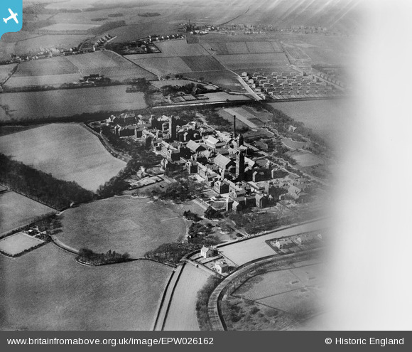
EPW026162 ENGLAND (1929). The County Mental Hospital (Annexe), Eccleston Park, 1929
© Copyright OpenStreetMap contributors and licensed by the OpenStreetMap Foundation. 2026. Cartography is licensed as CC BY-SA.
Nearby Images (2)
EPW026162
, Eccleston Park, 1929")
EPW026163
, Eccleston Park, 1929")
Details
| Title | [EPW026162] The County Mental Hospital (Annexe), Eccleston Park, 1929 |
| Reference | EPW026162 |
| Date | April-1929 |
| Link | |
| Place name | ECCLESTON PARK |
| Parish | ECCLESTON |
| District | |
| Country | ENGLAND |
| Easting / Northing | 349127, 392976 |
| Longitude / Latitude | -2.765774326362, 53.430855051796 |
| National Grid Reference | SJ491930 |
Pins

Rollo |
Thursday 27th of December 2012 07:48:42 AM | |
|
Rollo |
Thursday 27th of December 2012 07:46:41 AM | |
|
Rollo |
Thursday 27th of December 2012 07:43:44 AM | |
|
Rollo |
Thursday 27th of December 2012 07:35:25 AM |