
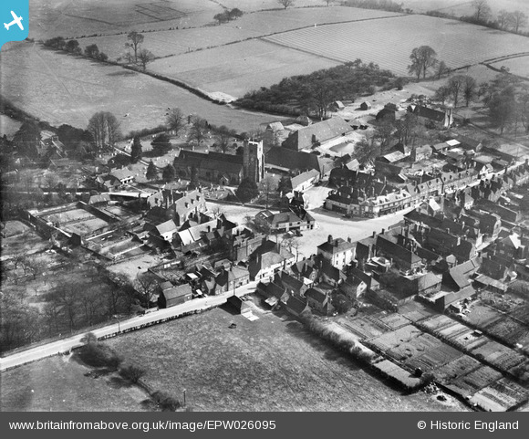
EPW026095 ENGLAND (1929). The village centre and St Mary's Church, Lenham, 1929
© Copyright OpenStreetMap contributors and licensed by the OpenStreetMap Foundation. 2025. Cartography is licensed as CC BY-SA.
Nearby Images (5)
EPW026095

EPW026063

EPW038126

EPW038127

EPW026064

Details
| Title | [EPW026095] The village centre and St Mary's Church, Lenham, 1929 |
| Reference | EPW026095 |
| Date | April-1929 |
| Link | |
| Place name | LENHAM |
| Parish | LENHAM |
| District | |
| Country | ENGLAND |
| Easting / Northing | 589878, 152159 |
| Longitude / Latitude | 0.72031534440379, 51.236456028289 |
| National Grid Reference | TQ899522 |
Pins
Be the first to add a comment to this image!