
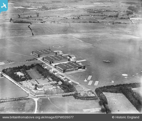
EPW026077 ENGLAND (1929). Lympne Airport, Lympne, 1929
© Copyright OpenStreetMap contributors and licensed by the OpenStreetMap Foundation. 2026. Cartography is licensed as CC BY-SA.
Nearby Images (7)
EPW026077

EPW035406

EPW039345

EPW026078

EAW013660
 at Lympne Aerodrome, Lympne, 1948")
EAW013661
 at Lympne Aerodrome, Lympne, from the south, 1948")
EAW013659
 at Lympne Aerodrome, Lympne, 1948")
Details
| Title | [EPW026077] Lympne Airport, Lympne, 1929 |
| Reference | EPW026077 |
| Date | April-1929 |
| Link | |
| Place name | LYMPNE |
| Parish | LYMPNE |
| District | |
| Country | ENGLAND |
| Easting / Northing | 611198, 135353 |
| Longitude / Latitude | 1.0154635811191, 51.078036807736 |
| National Grid Reference | TR112354 |
Pins
Be the first to add a comment to this image!